Record El Niño forecast as Cyprus expects wetter start to winter
British and Chinese forecasts point to a potentially record-breaking 2026-27 El Niño, while Cyprus expects a much wetter opening to winter.
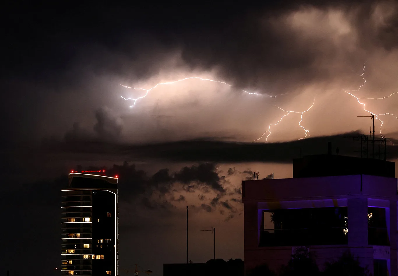
Nicosia, Cyprus. Forecasts from Britain and China indicate that the 2026-27 El Niño could be the strongest recorded. For Cyprus, expectations centre on a considerably wetter opening to winter rather than immediate alarm.
Forecasters warn of exceptional intensity
Despite their differences on many issues, Britain and China share an assessment of the event’s potentially record-breaking strength.
The BBC quoted the head of long-range forecasting at the UK Met Office as saying: “We should be clear that this is an unprecedented event… I have never seen an El Niño signal this intense in our forecasts,”
One month later, the Global Times reported that China’s National Climate Center (NCC) expected the El Niño already under way to become the most intense recorded.
The event’s magnitude is one feature distinguishing it this year. The sea-surface temperature anomaly is projected to reach approximately 3.7 degrees Celsius during October–December.
Effects extend beyond the Pacific
In an email to the Cyprus Mail, Department of Meteorology director Dr Filippos Tymvios explained that El Niño directly influences areas adjoining the affected Pacific region. Its exceptional scale, he said, also gives it an indirect influence on weather worldwide.
Tymvios noted that both El Niño and its opposite, La Niña, indirectly influence global temperatures beyond the Pacific.
How the weather patterns develop
Trade winds normally carry warm water at the ocean’s surface westwards across the Pacific, from waters near South America towards Australia.
When those winds weaken, less warm water moves west. The western Pacific consequently cools while the eastern Pacific warms. Warmer air can retain additional moisture, bringing greater rainfall to the east: the pattern known as El Niño.
Stronger-than-normal trade winds produce the opposite pattern, La Niña, leaving the western Pacific warmer and wetter still.
According to Wikipedia, each phenomenon typically lasts around a year, with occurrences spaced between two and seven years apart.
This news item was generated automatically by Cyprus Inform from publicly available materials. Report an error →