Troodos: villages, trails and routes through the mountains of Cyprus
About the place
Checked: 13 September 2026.
Troodos is a region, not a single location
The Troodos Mountains cover most of the mountainous centre of Cyprus. The name on a map may refer to the mountain range, the Troodos area, the villages or the nature trails, which are often only a few tens of minutes’ drive apart. Therefore, the request ‘to go to Troodos’ should first be narrowed down to a specific destination: a walk in the woods, a cluster of villages, a monastery, frescoed churches or a cool day away from the coast.
You cannot start the same route from Limassol, Paphos and Nicosia in exactly the same way. Choose an entry point to the region from your side of the island and avoid crossing the mountains several times just to tick off a list of places. An official map helps to group places together. When estimating travel time, you should factor in winding roads, stops and slower traffic through villages.
This guide brings together the previously scattered overviews of the Troodos Mountains into a single resource. The separate pages for Omodos and Lefkara retain their village-specific focus, but the general selections of mountains, attractions and leisure activities should not compete with one another. Start here, then move on to your chosen village or trail.
How to plan a route through the villages
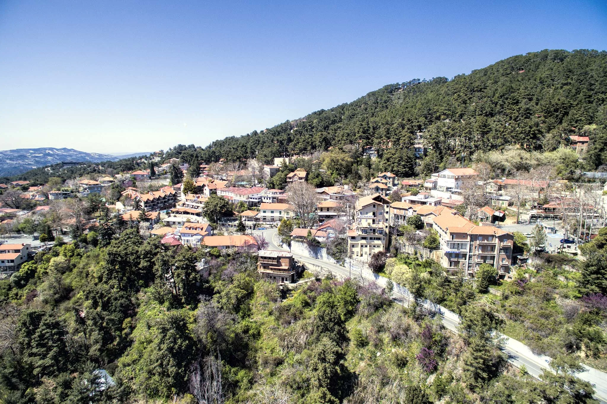
For a single day, two nearby villages or one village with a nature walk will suffice. Platres and the surrounding area are ideal for a forest walk, Kakopetria for a stroll through the old town, and the wine-growing villages on the southern slopes for a craft and gastronomic tour. Don’t combine places simply because they’re all labelled ‘Troodos’.
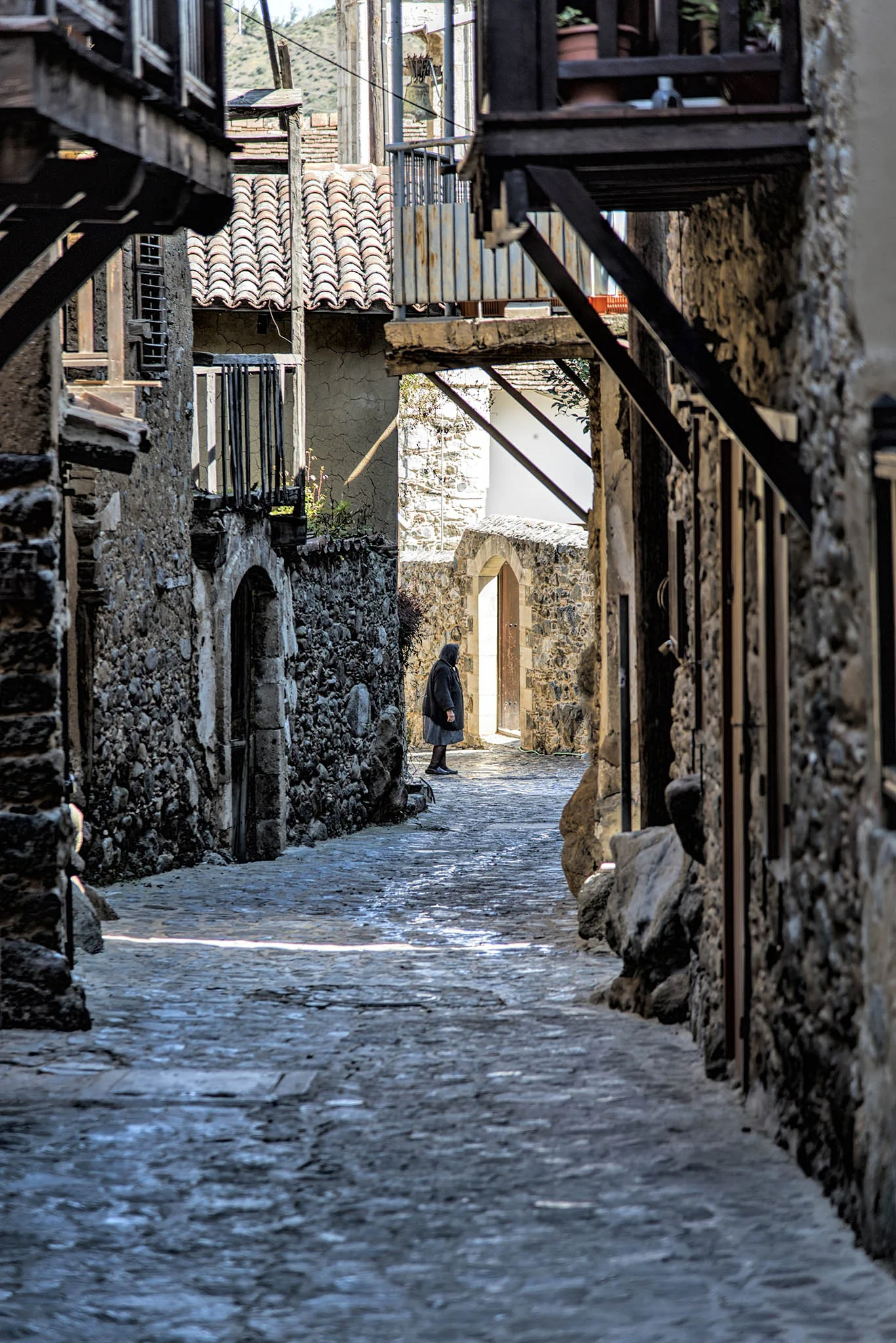
Once in the village, first find a designated car park and do not drive into narrow historic alleyways just because your sat-nav suggests it. Some streets are steep and have steps. It is important for people with reduced mobility to check the specific site, museum or church in advance. The general recommendation to ‘take a stroll through the village’ does not indicate physical accessibility.
A workshop, museum or winery may operate by prior arrangement. A tasting does not guarantee a free tour, and the driver does not consume alcohol. Check the price and format before you start. When buying a product, ask about its origin and storage conditions; the fact that it is in a tourist area does not in itself confirm that it is handmade or locally produced.
Trails and nature walks
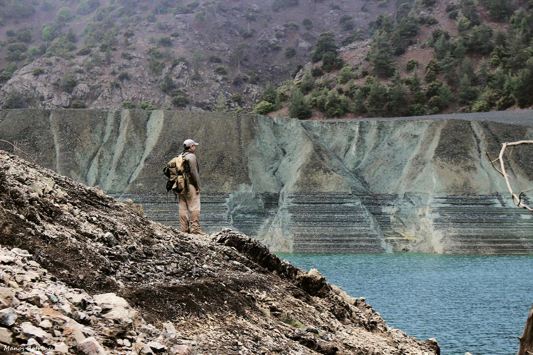
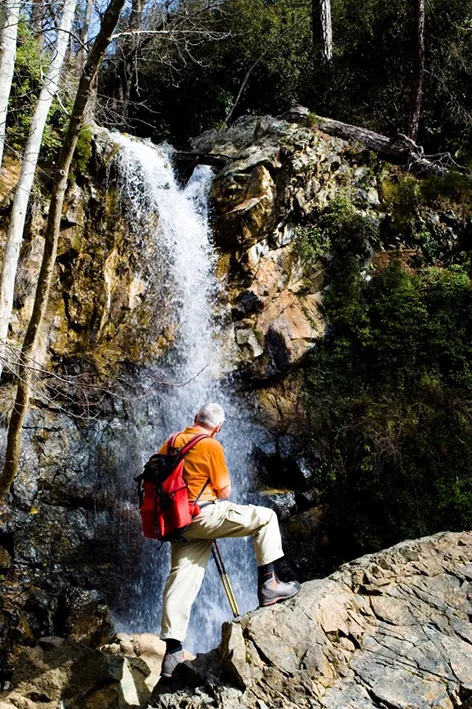
Official nature trails vary in length, elevation gain and terrain difficulty. The word ‘circular’ describes the route’s shape, not its ease. Before setting off, read the latest route description, locate the exact starting point and assess the daylight hours. A screenshot of the map is a useful addition, but it is no substitute for signposts or the decision to turn back.
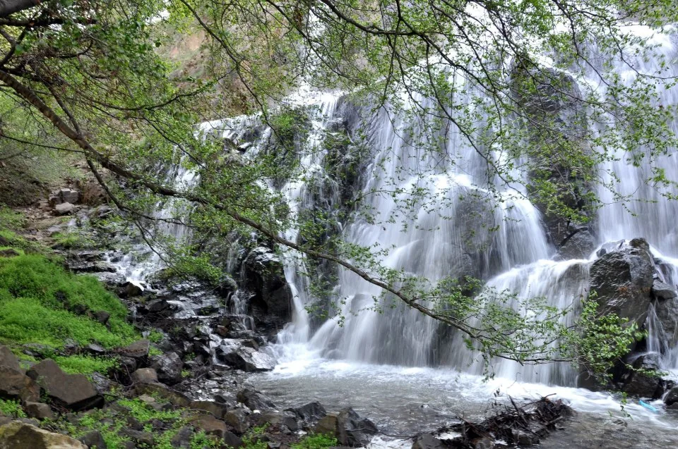
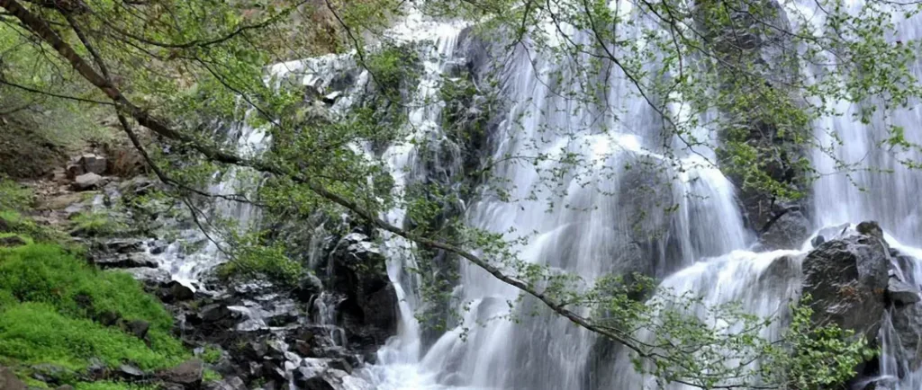
Bring water, closed-toe footwear, sun protection and a layer of clothing in case of wind. The altitude may lower the temperature, but UV exposure and the risk of dehydration remain. After rain, roots and rocks are slippery. Do not stray from the path to see a waterfall or a view, do not climb over barriers and do not leave rubbish behind.
Fires in the forest are subject to strict restrictions. Do not light a fire or throw away cigarette ends; if there is smoke or the trail is blocked, follow the instructions of the emergency services and leave the area via an authorised route. In an emergency, call 112 and state the name of the trail, the nearest signpost and your coordinates. Mobile reception in the gorge may be unreliable, so inform your loved ones of your route in advance.
Churches, monasteries and visiting rules
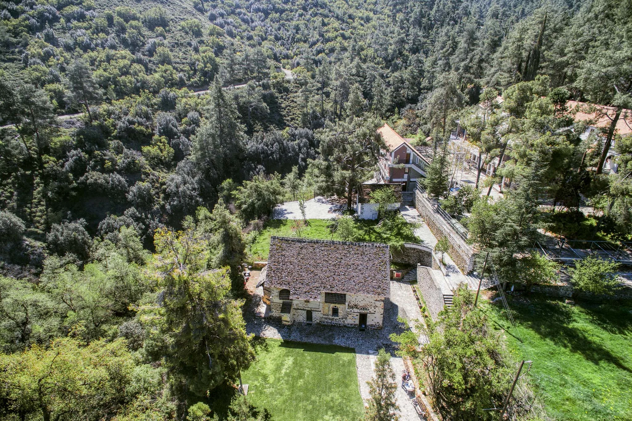
This mountainous region is renowned for its Byzantine and post-Byzantine monuments, including a group of frescoed churches. These are scattered across various villages and do not form a single museum complex with a single entrance. For a one-day visit, choose a cluster of related sites and check the access details for each church: the caretaker, services or restoration work may affect opening hours.
These are active places of worship. Modest clothing is required, as is silence, and you must observe the ban on photography where indicated. Do not promise a group entry at the last minute, and do not argue with local regulations. Donations, tickets and guided tours are different matters; check the conditions on site or with an official source.
Frescoes are vulnerable to light, touch and humidity. Do not touch the surfaces or use a flash. If the site is closed, do not look for an unofficial entrance. A walk around the village and exploring the surrounding area can serve as a fallback plan, but access to a specific interior cannot be guaranteed without up-to-date confirmation.
Mountain roads and transport
Public transport in the mountains does not allow you to move freely between villages throughout the day. If you are using the bus, plan your itinerary around the exact timetable for the outward and return journeys. Organised tours are convenient logistically, but compare the duration of stops and the services included. Taxis for journeys between villages should be arranged in advance, including waiting time.
When travelling by car, drive on the left; the roads are narrow and winding in places. Do not overtake without a clear view, give way safely and do not rely on your sat-nav if it directs you down a clearly unsuitable road. Check your fuel and battery levels before setting off. After sunset, the winding road requires greater attention, so plan your return journey to allow for plenty of daylight.
In winter, snow, ice and road closures are possible in higher areas. A standard hire car and summer driving experience do not guarantee a safe journey. Check police and road authority updates before setting off; do not attempt to bypass a closed section via a forest track. In summer, other restrictions include fire hazards and temporary closures of the forest.
Seasons and suggested itineraries
Spring is ideal for green slopes and walks, but rain can affect trail conditions. In summer, the mountains offer a respite from the coast, although the midday heat persists in open areas. Autumn is ideal for rural routes and the changing colours of the forest. Winter requires warm clothing, checking road conditions and a shorter itinerary.
From the south, you can combine Omodos with a neighbouring wine-growing village or choose Platres and a short trail. From the north, the Kakopetria area and nearby monuments make more sense. From Paphos, don’t try to cover the entire eastern slope in a single day. Each itinerary includes one main destination, one additional stop and some time to spare for the journey.
For families with children, a short, officially marked trail and a village with straightforward facilities are best. Even experienced travellers still need to check seasonal conditions and allow time for the return journey. A group without a car should opt for an organised tour with a clear itinerary. A generic ‘must-see’ list is no match for a plan tailored to your transport and stamina.
Final check before setting off
The day before, check the forecast specifically for altitude, road conditions, fire restrictions and the official trail description. In the morning, check again following any bad weather. Save an offline map, the address of the starting point and your accommodation details. Let your loved ones know your route and estimated time of return if you’re walking.
Take water, food, suitable footwear, a fully charged mobile phone and layers of clothing. Don’t count on finding an open café in every village. A first-aid kit should cater for your personal needs, but it is no substitute for deciding to cancel the trip if you feel unwell. If you run late, don’t add another stop at the expense of a night-time drive along winding roads.
Timetables, prices, access and road conditions change, so older reviews should be used only as a guide. This central hub provides the geographical context and route selection; the pages for specific villages answer more specific questions. This structure helps with planning whilst also eliminating internal competition between several general articles about Troodos.
Continue planning
- Omodos: a focused wine-village route
- Lefkara: crafts and stone lanes
- Limassol: a base for the mountains