Why do earthquakes occur in Cyprus
 Cyprus is in a seismically active zone. The geological basis of the island, consisting of several tectonic plates, is in the Alpine-Himalayan belt of seismicity, stretching from the mountains of Spain to Palmyra. In this group, tectonic processes are actively manifested, leading to the majority of catastrophic earthquakes.
Monitoring seismic services record minor earthquakes throughout the Alpine-Himalayan seismic belt almost daily. Tectonic activity and movement of plates in this area never cease for a minute, and the pressure under the earth’s crust increases to a critical point which is eventually discharged, causing an earthquake.
The island is, however, in one of the quietest areas of the Alpine-Himalayan seismic belt, and earthquakes in Cyprus are much less frequent and weaker than in, for example, Turkey or Greece.
Earthquake frequency
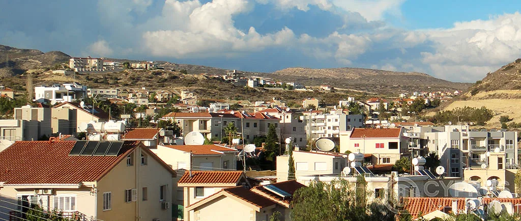
 The coastline of Cyprus, stretching from Pafos to Famagusta, is most prone to earthquakes. Annually the coasts of Cyprus are subjected to minor earthquakes which have no adverse effect on the population.
Throughout history, Cyprus has been subjected to earthquakes of variable strength. There is evidence of devastating earthquakes in the first century – one of them destroyed Paphos. Limassol, Larnaca (Kition) and Famagusta (Salamis) repeatedly suffered destruction.
Seismological data on the situation in Cyprus began to be collected from 1896 when the first seismic stations were installed in neighbouring countries.
The Seismological Centre or Geological Survey of Cyprus was founded in 1984. Currently, seismological stations collecting information on activity in Cyprus are located both in the south and north of the island.
During the observation of seismic activity in Cyprus, about 400 earthquakes were recorded, most of which passed without significant destruction.
Each year, the Geological Survey of Cyprus registers about 500 tremors.
Significant earthquakes in the Cyprus region:
- 2013 — 14 magnitude 3.7 to 5.9;
- 2014 — 20 magnitude 4 to 4.4;
- 2015 — 8 magnitude4 to 5.3;
- 2016 — 14 magnitude 3.8 to 4.8.
Consequences of Earthquakes
 The effects plus the strength and depth of the epicentre of tremors, depend on the quality of structures.
In ancient times and the Middle Ages, earthquakes often turned Cypriot settlements into ruins. Repeatedly almost all the castles and cities of the island were subjected to the destructive effects of earthquakes and had to be rebuilt.
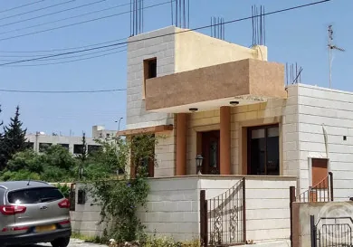
Nowadays all the structures in Cyprus are built taking into account the resistance to seismic impacts. Modern Cypriot buildings are designed to withstand periodic shaking and are constructed using technology and frame-reinforced concrete foundations.
In the past two decades during the tremors in Cyprus, apart from the palpable vibration, glass showcases were broken in some stores, goods fell from shelves, and poorly fixed objects fell in homes.
The worst consequence is a tsunami wave that follows an earthquake.
If a strong earthquake occurs in Cyprus, then the coastal areas may be covered by a giant wave, so to minimise possible damage multi-storey houses have been built along the coast recently, creating a kind of artificial edge, which in catastrophic circumstances can work as a breakwater.
The largest quakes in Cypriot history
 1075 BCE. — The devastating earthquake in Kition (Larnaca). The city, which was an important trade outpost in the Eastern Mediterranean, was restored by the Phoenicians.
- 1075 BCE. — A devastating earthquake in Salamis (Famagusta). Restoration of the coastal settlement involved residents who came from the interior of the island also destroyed by the quake.
- 76-77 year CE. — A devastating earthquake in Palea Paphos (Kuklia). The largest settlement of that time was in the west of Cyprus, rebuilt by the Romans who ruled the west of the island.
- Severely damaged by an earthquake in 342 AD and despite the fact that most of Nea Paphos was restored, the city was unable to function as a capital by the end of the 4th century.
- 365 AD — the city of Curio was destroyed. The catastrophe marked the end of the era of pagan antiquity, and the temples of the ancient gods were not restored.
- 1221, 1489, 1584, 1904, 1905 — major earthquakes in Limassol.
- 1941 — a quake measuring 5.9 in Paralimni which killed 15 people.
- 1953 — an earthquake of 6.5 in Pafos, which killed 63 people.
- February 23, 1995 — a quake of 5.7 in Paphos and Limassol, two people died and five injured.
- October 9, 1996 — an earthquake of 6.5, one person died, 20 were injured.