Where is Cyprus? Map and island location
Cyprus lies in the eastern Mediterranean. See whether it belongs to Europe or Asia, where the Republic of Cyprus is located and what the map needs to show.
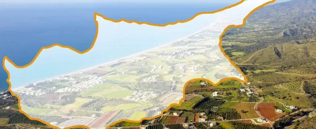
In brief: Cyprus is an island in the eastern Mediterranean, south of Türkiye and west of the coasts of Syria and Lebanon. The UN statistical classification places it in Western Asia, while the Republic of Cyprus is politically a member of the European Union. Cyprus is not part of Greece.

Where to find Cyprus on a map
The island is in the north-eastern part of the Mediterranean Sea. Useful reference points are Türkiye’s southern coast to the north, the Levantine coast to the east, the Greek islands to the west and Egypt to the south. Nicosia is the capital of the Republic of Cyprus. An official Republic of Cyprus reference gives the island’s area as 9,251 km².
For trip planning, the next practical choice is the arrival airport. Our guide to Cyprus airports compares Larnaka and Pafos.
Is Cyprus in Europe or Asia?
The answer depends on the context. The UN M49 regional classification places Cyprus in Western Asia. That is a statistical grouping, not a statement about political affiliation. The Republic of Cyprus joined the EU on 1 May 2004 and adopted the euro on 1 January 2008, according to the EU’s official country profile.
It is therefore accurate to say “Western Asia” in a statistical-geography context and “EU member state” in a political, economic or travel context.
Is Cyprus part of Greece?
No. The Republic of Cyprus is an independent state. Strong cultural and linguistic links with Greece do not make the island Greek territory. Greek and Turkish are the official languages of the Republic of Cyprus. English is widely used in tourism and services, but it is not an official state language.
What the island’s division means
The government of the Republic of Cyprus does not exercise effective control over the entire island. The EU explains that the whole island is EU territory, but EU law is suspended in areas where the government of the Republic of Cyprus does not exercise effective control. Maps also show the UN buffer zone and the British Sovereign Base Areas of Akrotiri and Dhekelia.
This overview provides geographic and institutional context only. It does not determine anyone’s right to enter, stay or cross the buffer zone. Check the current rules issued by the competent authorities before planning a route involving different controlled areas.
Key facts
- Sea: Mediterranean.
- UN M49 region: Western Asia.
- State: Republic of Cyprus.
- Capital: Nicosia.
- Island area: 9,251 km² in the Republic of Cyprus 2024 reference.
- EU: member since 1 May 2004.
How to interpret the island’s location
First, distinguish between the physical map and the political map. Physically, Cyprus is situated in the eastern part of the Mediterranean Sea; the nearest landmarks help to locate the island, but do not determine its national affiliation. Distances on a flat map also depend on the projection used, so use actual airports and seaports when planning your route.
Describe the cardinal directions relative to the island: Turkey lies to the north, the Levant to the east, Egypt to the south, and the Greek islands to the west and north-west. Such a description is more reliable than a random list of kilometres. Exact distances are only meaningful between named points and according to the chosen mode of transport.
The capital is situated in the centre of the island, whilst the Republic of Cyprus’s international airports are located along the coast. Therefore, ‘flying into Nicosia’ in practical terms means choosing an airport and a ground transfer. A basic understanding of the geography immediately explains why the city and beach parts of the trip require different logistics.
Why the answers ‘Europe’ and ‘Asia’ are not contradictory
The UN’s statistical classification places Cyprus in Western Asia, whilst the Republic of Cyprus is a member state of the European Union. The first answer refers to a regional grouping, the second to a political and legal union. Clarifying the context removes the false dichotomy between them.
Cultural ties with Greece do not, either, make Cyprus part of Greek territory. Language, religion and history describe the relationships between societies, whilst sovereignty defines the status of a state. In an educational or travel text, it is useful to explicitly state the level of each statement.
If a source simply refers to a ‘European country’ or an ‘island in Asia’, check what purpose it is serving. Tourism, visa, statistical and geological materials may use different frames of reference. An error arises when a conclusion drawn within one frame is transferred to another without explanation.
Territories on the map
A map must distinguish between the internationally recognised Republic of Cyprus, areas outside the effective control of its government, the UN buffer zone and the British sovereign bases. Colour shading serves as a legend, not as an independent legal source. Check the captions and the date of publication.
The statement that the entire island is EU territory requires clarification regarding the suspension of the application of the acquis in areas outside the effective control of the Government of the Republic of Cyprus. This is an institutional formula, not a set of instructions for crossing the line nor a promise of uniform service provision.
For practical travel purposes, refer to the official rules on authorised points of entry and crossings. A line shown by a navigation app does not establish a right of passage. If the route passes through controlled territories, documents and current restrictions must be checked separately according to nationality and mode of transport.
How to check a map and its source
Look for the publisher’s name, date, scale, legend and the map’s purpose. The government reference guide is suitable for area and administrative information; UN statistics for regional classification; and the EU portal for membership and the application of law. A single map is rarely the best source for all issues.
Do not use an image without a legend as proof of a border. Compare the labels with the text of an official source and save a link to the current page, not just the file. When updating, check whether the URL, version or explanation of the territory has changed.
The practical approach consists of three steps: locate the island physically, identify the state and institutional context, then check the rules for the specific route. This structure remains evergreen and does not reduce a complex status to a simplistic slogan.
Official sources
- Republic of Cyprus: Cyprus at a glance
- European Union: Cyprus country profile
- United Nations Statistics Division: M49 regions
Information checked on 8 September 2026. Geographic facts are reviewed yearly; territorial-status information is reviewed at least every 90 days.