Cyprus is situated in the south-eastern part of the Mediterranean Sea and is the third largest island in the region after Sicily and Sardinia. It is the easternmost island in the Mediterranean, surrounded by three continents: Asia, Europe and Africa.
The territory
 The island is located 100 km west of Syria, 75 km south of Turkey, 380 km north of Egypt and 270 km east of Kastelorizo - the most south-eastern point of Greece.
Cyprus’ area is 9251 km², its length from the easternmost to the westernmost point of is 225 km and the widest part of Cyprus is 94 km. The total length of the coastline is 853 km. The population of Cyprus is about 700 thousand people.
Cyprus is geographically divided into six regions: Nicosia, Limassol, Larnaca, Paphos, Famagusta and Kyrenia. The last two, except for a small part of Famagusta, as well as some areas of Nicosia, have been occupied by Turkish troops since 1974.
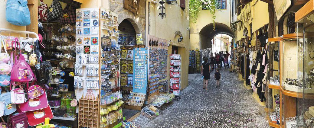
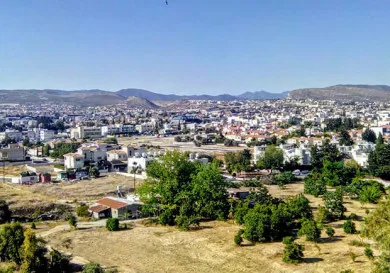
The capital of the island is Nicosia with a population of just over 170 thousand people. The largest city after Nicosia is Limassol with a population of about 135 thousand. Next, follows Larnaca (about 44 thousand) and Paphos (just over 30 thousand inhabitants).
The temporary capital of the free zone of Famagusta is the town of Paralimni with a population of 7.700 inhabitants.
The contour map
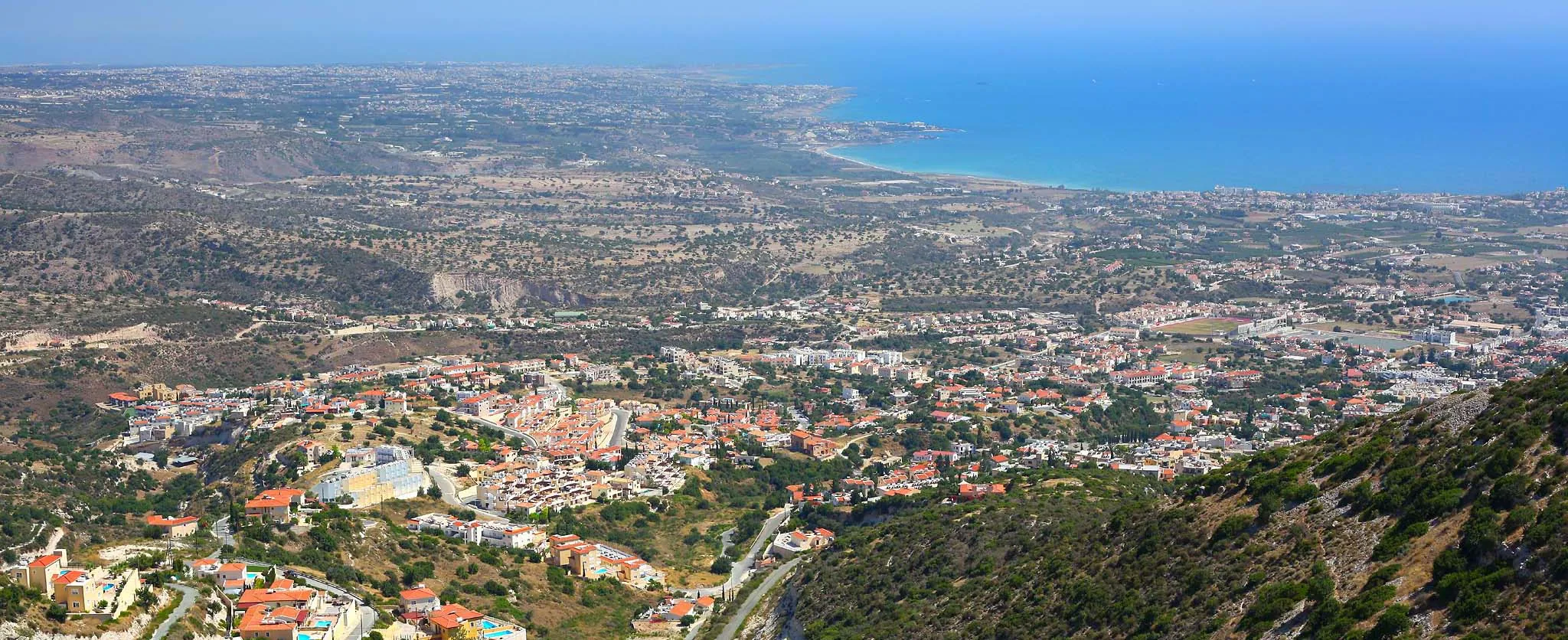
The whole of Cyprus can not be considered a mountainous country, but a large area of the island is covered by mountains, and in the vicinity of Limassol, Paphos and Kyrenia there are many mountainous elevations.
The two main mountain ranges of the island are Pentadaktylos (1023 m) and the top of Mount Olympus at Troodos (or Hionistra), which reaches a height of 1951 m. Between the mountain ranges Mesaoria plain is located and the eastern part of the island is represented by the narrow Karpas peninsula.


On the geophysical map of Cyprus, many rivers are shown. However, in this case it is a question of greater flows, which are filled with water only during the rainy winters, but in summer are completely dry.
The landscapes in Cyprus have a unique formation, thanks to the deep and scenic rivers, formed during the passage of these small seasonal streams. The largest of them are Pedieos (or Pidyas) Ekzusas, Diarizos, Xeros, Courris and Yalyas.
 Cyprus also has a large number of water sources. The most famous are located in Kyrenia Kefalovriso: one of them is close to the village Kethreya, and the other is near the village of Lapithos. Both are occupied areas so the Cypriots get their water from sources in the free part of Cyprus, such as Ayios Nikolaos in the Troodos mountain etc.
Also known, are popular mineral and medicinal springs, which are located not far from the monastery of St. Chrysostom near Buffavento in Kyrenia, as well as near the village of Kalopanagiotis in the Troodos mountains. As for lakes, the lakes are only the salt marshes in Larnaca and Limassol.
Volcanoes of the sunken Atlantis
 Apparently, Cyprus’ territory in the Eocene period, was merged with the surrounding land but at some point there was a temporary dip, which resulted in the original land’s surface to be buried for many thousands of meters below the sea surface. This immersion continued throughout most of the Eocene and Miocene period. Maybe this part of evolution helped create the myths about Atlantis?
The immersion was followed by a period of volcanic activity in the opposite direction, the result of which is the formation of the Troodos mountain range. Currently, the Troodos mountain is of volcanic origin, and apparently is the natural core of the island. 11 million years later, at the end of the Miocene period, as a result of volcanic rock Kyrenia’s mountain range Pentadaktilos was formed by compression.
Mesaoria plain was under the surface of the sea, and it was much later, around the Pleistocene period that is emerged above. Such turbulent geological history explains the great variety of rocks on the island.
The rich volcanic formations, a variety of magma, as well as alluvial limestone in different colors and compositions are at a small distance from each other on the surface of the island and thanks to these components Cyprus’ terrain is extremely diverse.
A place under the sun
 The climate in Cyprus is one of the mildests in Europe with an average annual temperature of 19°C and a large number of sunny days. The hot and humid summer in Cyprus begins in mid-May and lasts until the end of October. The hottest months are July, August and the first half of September.
For the lowland areas of the island the snow is a rare phenomenon, but at the tops of the Troodos mountain, snow appears from late December to early March and you can even go skiing (at the Troodos Ski Resort).